

You are here: Home » Mongolia » Introduction to Mongolia
|
Photos
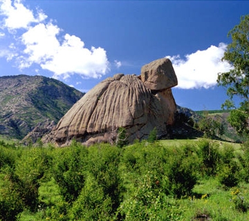 Mongolian wonderful narute 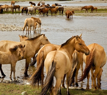 Mongolian lengendary horse 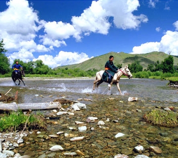 Mongolian boy
|
Geography Mongolia is the second largest land-locked country in the world located between the two superpowers China and Russia. The country’s territory consists of large rolling plateaus and high mountains with a high degree of relief. Even though precipitation is minimal, Mongolia has some of the largest lakes on Earth, including Lake Khusvgul.
The Tavanbogd Uul Peak in the Altai Mountains in the western most part of Mongolia on the Chinese border is the highest point at 4374 meters. The lowest point is still 518 meters high, somewhere in the smoothly undulating eastern Mongolian plain. The country has an average elevation of 1,580 meters which is approximately the height of the capital - Ulaanbaatar. The landscape includes salt lakes, marshes, sand dunes, rolling grasslands, alpine forests, and glaciers. Northern and western Mongolia consists of seismically active zones, with frequent earthquakes and many hot springs and extinct volcanoes.
The extreme south is the Gobi desert, some regions of which receive no precipitation at all in most years.
The name Gobi is a Mongol meaning desert, depression, salt marsh, or steppe, but which usually refers to a category of arid rangeland with insufficient vegetation to support marmots but with enough to support camels. Mongols distinguish Gobi from desert proper, although the distinction is not always apparent to outsiders unfamiliar with the Mongolian landscape. Gobi rangelands are fragile and are easily destroyed by overgrazing, which results in expansion of the true desert, a stony waste where not even Bactrian camels can survive.
The grassland of the eastern parts of Mongolia is home to many nomadic herders. The North is characterized by large Siberian forests and lakes while the west has some of the largest mountains of Mongolia.
|
General info
|


